BibleWorks Maps
·
interactive
BibleWorks: 2006
hypsometric elevation
digital shading
full-color
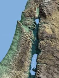
Digital shaded hypsometric elevation map of the Levant with blue water bodies, green-to-tan land elevation tints, strong terrain shadows, and a pale dotted boundary line in the Jordan rift area.
✨
Labels
✨
Label typography and visual context
Feature type
Visual context
Label style
Symbols
✨
Map symbols and color samples
Symbol role
Visual sample
water
river
hypsometric tint
boundary