Terre Sainte: Cet Heureux Pays
✨
·
Jean-Claude Filteau
Map credit: Jean-Claude Filteau
Anne Sigier: 1988
flat
manual shading
full-color
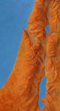
The visible map is an unlabeled shaded-terrain rendering with blue water and drainage over orange-brown land.
✨
Labels
✨
Label typography and visual context
Feature type
Visual context
Label style
Symbols
✨
Map symbols and color samples
Symbol role
Visual sample
water
basemap
river